Field notes
Minor boundary adjustment or permit amendment? Where the line sits
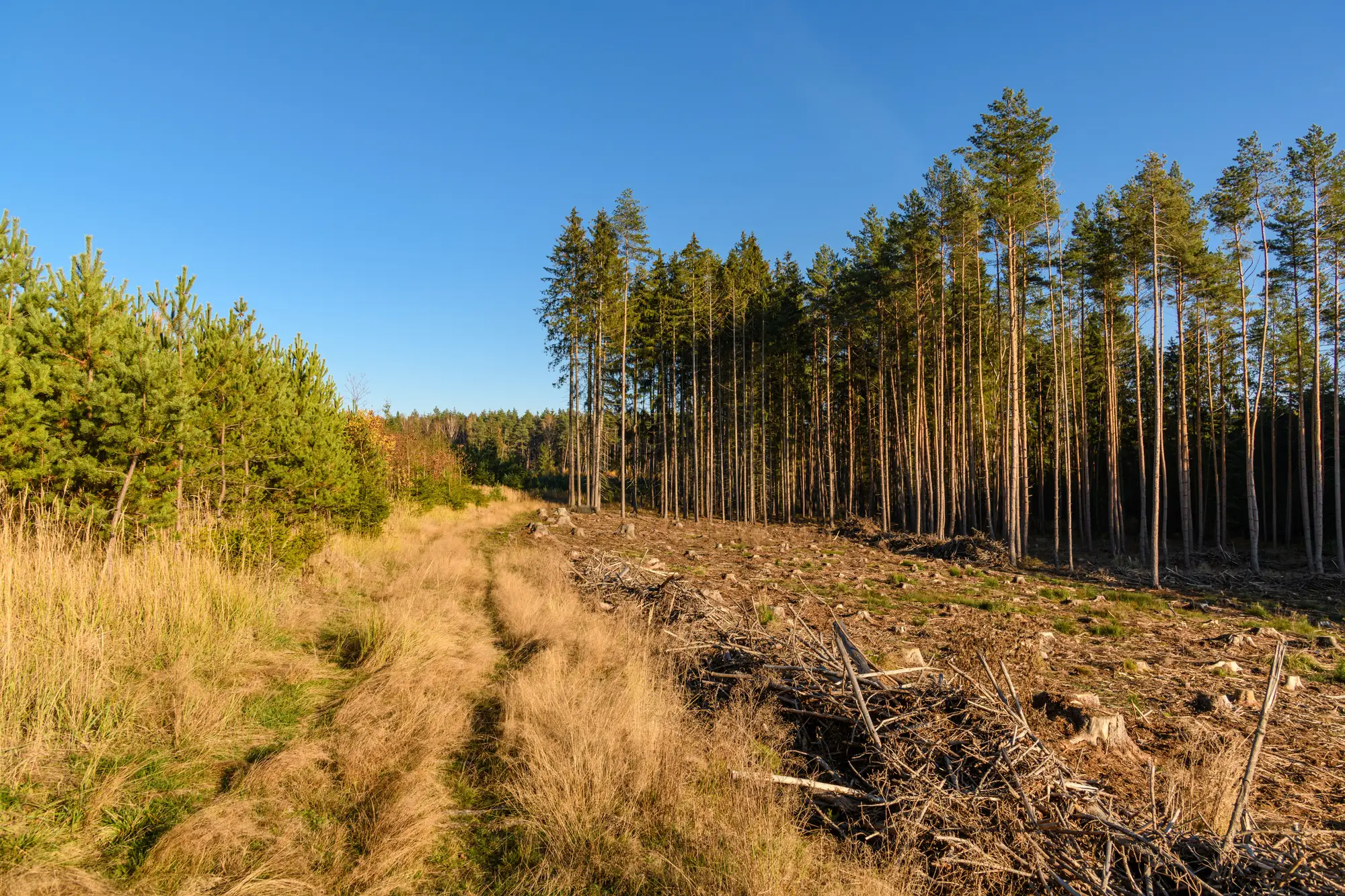
Every file review eventually lands on the same question. The cutblock on the ground doesn't match the cutblock on the permit map, and someone has to decide whether that's a minor boundary adjustment the licensee can note in their records, or a change big enough to need a cutting permit amendment before anyone touches another tree. Get it wrong one direction and you've let an operator expand a block without authorization. Get it wrong the other way and you've sent an amendment through approvals for a layout error that never should have held things up.
No single number answers this across every tenure and jurisdiction, but area and intent are what decide it, not how far off the flagging looks from the road.
What the permitted boundary is actually fixing
A cutting permit boundary, and the riparian buffer or reserve drawn alongside it, isn't a suggestion with wiggle room built in for convenience. It's the line the district approved after review of the stand, the slope, the stream classification, and whatever reserves were required. The plan sets that boundary once, not as a target to land near.
The variance tolerance that shows up in most operating ground rules exists to absorb something specific: GPS error, flagging drift, the gap between a line drawn on a 1:5000 map and a line walked through timber by a faller or layout crew. It is not there to cover a decision to take ten extra meters because the stand looked good past the flag, or to round a corner because leaving a sliver of unmerchantable timber seemed like a waste of a trip. That distinction sounds simple on paper. In the field, both produce the exact same visible result: a cut boundary that doesn't match the permit.
The test: area and intent, not just meters
Most frameworks define the amendment threshold in terms of area, usually hectares or a percentage of the permitted block, sometimes with a separate, stricter rule for anything inside a riparian buffer or a mapped reserve. A few meters of overcut on a long boundary edge can add up to more disturbed area than a sharper but shorter excursion into a buffer, and reviewers who eyeball distance instead of area routinely get this backwards.
Intent matters too, even though it's harder to document. An operator who clears a few meters past the line while following a stand edge that was obviously misflagged is a different case than one who cuts into a buffer because the extra volume was sitting right there. The first usually reads as a minor boundary adjustment once the licensee files the as-built. The second is the kind of overcut that should trigger an amendment review, and in some tenures, a stop-work order while it's sorted out.
A few patterns show up often enough in file review to name:
- Corner rounding, where a sharp permit corner gets squared off in the field and picks up a small triangle of extra area on each side
- Buffer-edge creep from skid trail placement, which looks like a layout error but is really a repeated small encroachment along the whole buffer length
- Haul road or landing footprint that grows beyond what was shown on the permit sketch, treated as incidental even though it removes timber outside the authorized area
- "Incidental" removal during falling that leaves standing timber along the actual boundary thinner than the buffer was supposed to require
None of these announce themselves as amendment-worthy from the paperwork alone. They look like boundary variance until someone lays the as-cut polygon over the permit and sees how much area it actually picked up, and whether any of that area falls inside a reserve.
That's the gap a desk review can't close with the permit file and a few site photos. Harvest Compliance compares the actual cut boundary and riparian buffer against the permitted cutblock on a quarterly cycle, and turns the mismatches into a reviewable list of overcut area and buffer incursions, so a regulator or certifier knows which files have a boundary question worth a site visit and which ones are a non-issue before an inspector is ever dispatched.
If your current process only catches boundary drift when someone happens to walk that line, it's worth seeing what a remote first pass turns up on your active files.