Field notes
What is a wildlife tree retention area, and how do auditors check the boundary?
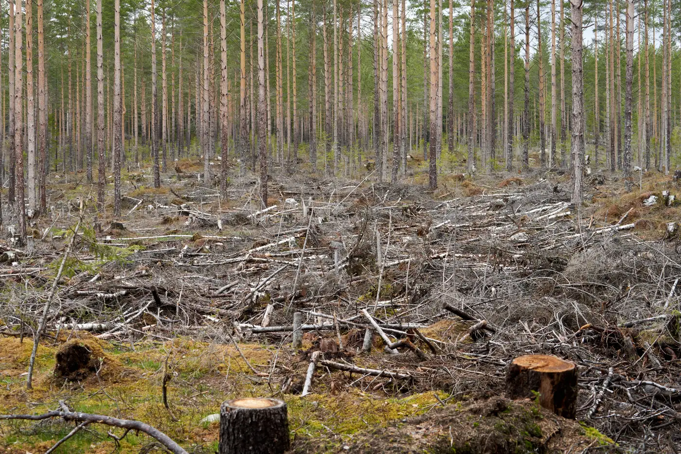
A field guide to WTRA compliance: what a wildlife tree retention area is, what the cutting permit requires, and how the boundary gets checked.
A wildlife tree retention area, usually shortened to WTRA or wildlife tree patch (WTP), is a mapped chunk of standing timber a licensee has to leave uncut inside or adjacent to a cutblock. It's there to carry forward structure the harvest would otherwise remove: cavity trees, snags, old veteran stems, the stuff cutblock wildlife uses. The retention requirement gets set at the cutting permit stage, usually as a percentage of net area to be reforested, and the boundary gets drawn on the site plan before a single tree comes down.
On paper that sounds tidy. In practice, a WTRA is one of the easiest commitments to erode without anyone deciding to erode it. A faller works a corner tight because the patch boundary flagging came down in a windstorm. A grapple yarder operator takes a few extra stems off the edge because the retention clump was smaller than it looked on the ground. None of that shows up as a violation report. It shows up, if it shows up at all, as a shrinking patch that nobody flagged until the next field visit, which might be a year or two out.
What the permit requires
The retention commitment isn't just "leave some trees." A cutting permit or forest stewardship plan typically specifies:
- the minimum retention area, as a percentage or absolute hectares tied to the cutblock's net area
- where the patch has to sit, often tied to riparian reserve zones, wildlife habitat features, or adjacent old-growth management areas rather than placed anywhere convenient
- the species and structural attributes being targeted for retention, since a patch of pole-sized pine doesn't do the same job as a patch with veteran Douglas-fir and standing dead wood
A certifier or compliance officer checking a block confirms three things: the patch sits in the location the plan committed to, it's roughly the size committed to, and the harvest didn't creep into it from the working side.
How the boundary gets checked today
Most jurisdictions still run this as a field exercise. An inspector pulls the cutting permit site plan, drives or walks to the block, and paces or GPS-traces the patch edge against the flagged boundary on the ground. That works, but it's slow, and it means the patch only gets looked at when someone has already scheduled a visit to that specific block. A licensee with forty active cutblocks across a district isn't getting forty field checks a quarter. The retention patches that get the closest look are often the ones someone already had a reason to be suspicious about, which means routine erosion on well-behaved operations goes unseen for a long time.
The honest gap here is scale. Field audits are the only process most programs run, and a field audit can't be everywhere at once. What a remote first pass can do is compare the patch boundary on the permit against the actual standing timber edge from recent high-resolution imagery, flag any area where the two don't line up, and hand that list to a compliance officer to decide where the truck goes next. Harvest Compliance builds that comparison for cutblock and riparian buffer boundaries on a quarterly cycle, turning overcut area and buffer incursions into a list someone can review before they drive anywhere.
What auditors are actually looking for
When a retention patch boundary doesn't match the permit, it's rarely because someone cut it down on purpose. The common patterns are a yarding corridor that clipped the edge, a danger-tree removal that took a buffer of surrounding stems with it, or a patch that was placed correctly on paper but got pushed smaller during falling because the flagging crew worked from a sketch rather than a GPS layout. None of these are hard to defend if the licensee can show the harvest followed the plan. They're hard to catch if nobody's checking the boundary until the cutblock is long closed out.
A WTRA that's intact on the permit but thinned on the ground is a compliance gap whether or not anyone meant it to happen, and the earlier it's caught, the easier it is to sort out before the next cutting season starts.
If your district or certification body is still relying on scheduled field visits to catch retention-area erosion, it's worth seeing what a quarterly remote comparison would have flagged last season.